Did you know that every direction from the South Pole is north?The vast and level Antarctic Plateau offers few features to feast the eyes on and none to navigate by. Yet finding one’s way across is really quite simple today, when aided by the satellites of the Global Positioning System (GPS). Finding the South Pole in 1911 was an entirely different story.
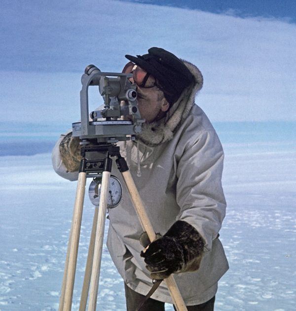
Any Antarctic traveller today will be carrying a little electronic device that receives radio signals from several of the twenty-odd GPS satellites. The time-coded and very precise signals allow the traveller’s position to be calculated instantly with an accuracy of a few meters, along with the bearing and exact distance to the point of destination. When Amundsen reached the South Pole, the navigation en route had to be done by dead reckoning, measuring distances with a wheel trailing the dog sleds and taking bearings with a compass adjusted for magnetic deviation – which is large and varying in the polar regions. By the end of a day's travel, the navigator could hope to be within a few hundred meters of the intended destination. At regular intervals more exact positions were taken by means of a sextant, a handheld instrument measuring the sun's elevation above the horizon. The solar elevation at noon would give the latitude, while the timing of the solar culmination with a chronometer would give the longitude. Extensive nautical tables and complicated calculations were involved. At higher latitudes the process tends to be even more complicated, because the longitudes converge and the solar orbit appears more and more level in relation to the horizon. Amundsen saved time and effort by not worrying too much about the longitudes, taking precise positions only at long intervals while maintaining a steady course between them and stopping where the sun seemed to be circling at the same elevation throughout the day. When the team arrived at the estimated South Pole on 14 December 1911, they eventually found themselves a few kilometres off the target. After three more days and nights of continuous solar observations with sextants and a theodolite, a precision surveying instrument, the team was able to close in on the actual pole with an accuracy of a couple of hundred meters – quite a feat in 1911. The final trip to this carefully calculated position was done on 17 December, with the skiing champion Olav Bjaaland leading the way. |
South Pole 1911–2011 is an informational outreach project run by the Norwegian Polar Institute
Contact person: