Charmer segmentThat’s the name Stein Tronstad from the Norwegian Polar Institute gave to the last map sheet, the one we are now using. At the moment, it’s difficult to see any charm. We have had yet another day of -30°C and strong headwinds.
“Have travelled absolutely blind all day. In such conditions, HH has to drive ahead with his dog team. Hass. and I, who otherwise would take turns in going ahead, cannot do so in this kind of weather, since we would simply come a cropper on the sastrugi.”– Amundsen on this day 100 years ago (Read more …) 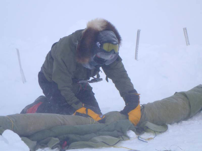
Amundsen had some tough times on the plateau. First he was weatherbound at “the Butcher”; then he got himself entangled in a horrific network of crevasses east of where we are now. But a few days ago he left “the Devil’s Glacier” behind at last. He wrote: “we were all rejuvenated, both men and dogs, and moved swiftly south.” We hope the name of this map sheet will in time fulfil its promise. But before we see any charm, we must probably get past the highest elevation along our route, Titan Dome, which has a tattered reputation where weather is concerned. The last 200 kilometres in towards the South Pole lie over an area where the weather is fairly reliable: little wind, lots of sun, good skiing conditions. We are looking forward to that! Position: S 86 57.688, E 178 49.376
Temperaturw: -29°C Wind: 10–12 m/s from the southeast Elevation: 2953 metres Distance traversed: 19 km Distance behind Amundsen: 94 km Total distance traversed: 973 km Distance remaining to the South Pole: 338 km Did you know that penguins used to live in Lofoten?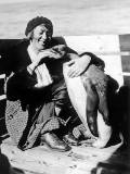
In the 1930s, attempts were made to introduce new animal species to regions where they were not naturally represented. Reindeer were shipped from Norway to South Georgia, and penguins were imported to Norway. |
South Pole 1911–2011 is an informational outreach project run by the Norwegian Polar Institute
Contact person: